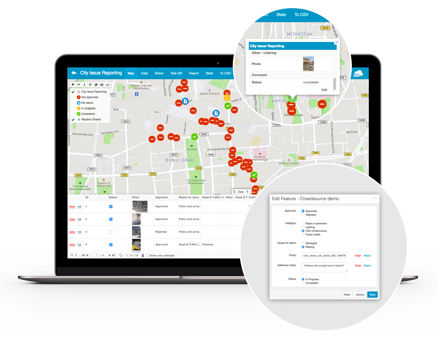
GIS Cloud Mobile Data Collection enables you to have media enriched location information from any place, any time and on any device. With only a few taps of your finger you are populating data into a map layer in real time. Analyze, share and publish your newly collected data or review and update your previous data. Make your workflow and decision making effective by creating accurate and timely information in a fast and user friendly way.
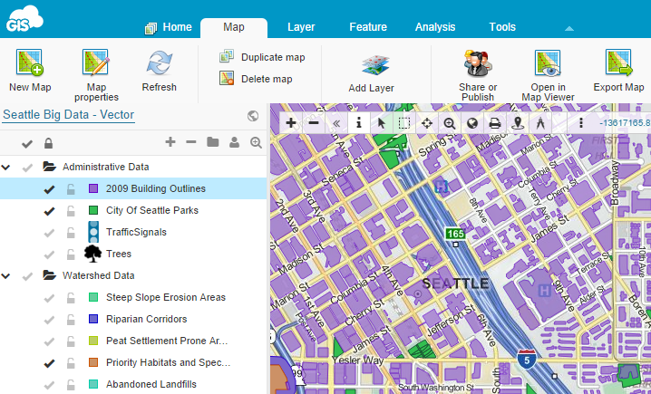
GIS Cloud’s Map Editor supports number of vector and raster formats, rich GIS symbology and it has built-in collaboration capabilities. Developed on the latest HTML5 technologies, it is the first of its kind application with full vector-based editing and real-time updates to the geo database.
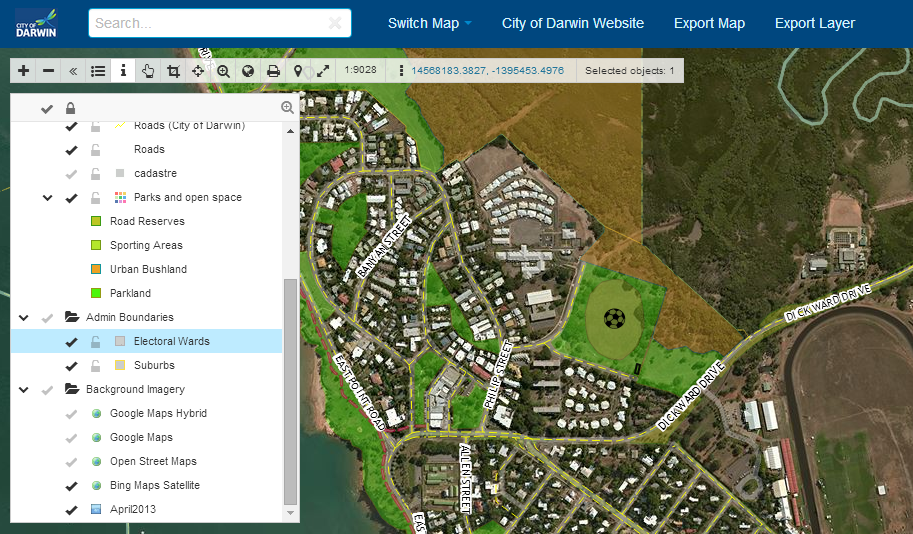
GIS Cloud’s Map Viewer is an easy collaboration tool to view and access maps and data.
GIS Cloud’s Map Viewer is an easy way to view and access maps and data. Optimized for non-professionals, Map Viewer enables you to access shared or public maps on any device in real time. Use this app as a collaboration tool by giving different levels of access to your clients by defining permissions.
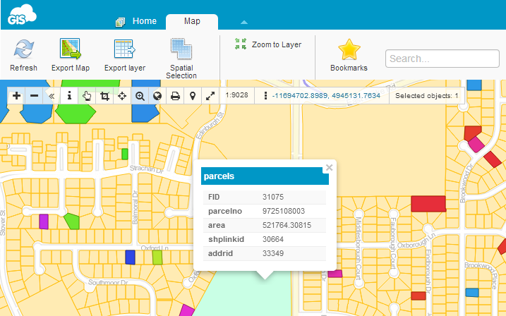
Map Portal is a simple and easy application that gives you an overview of your mapping effort, and is a friendly way of displaying data to the public. It is an affordable solution as it reduces time, effort, paperwork and support costs. Publish interactive maps and allow your viewers to search, visualize and explore media enriched data with just one click.