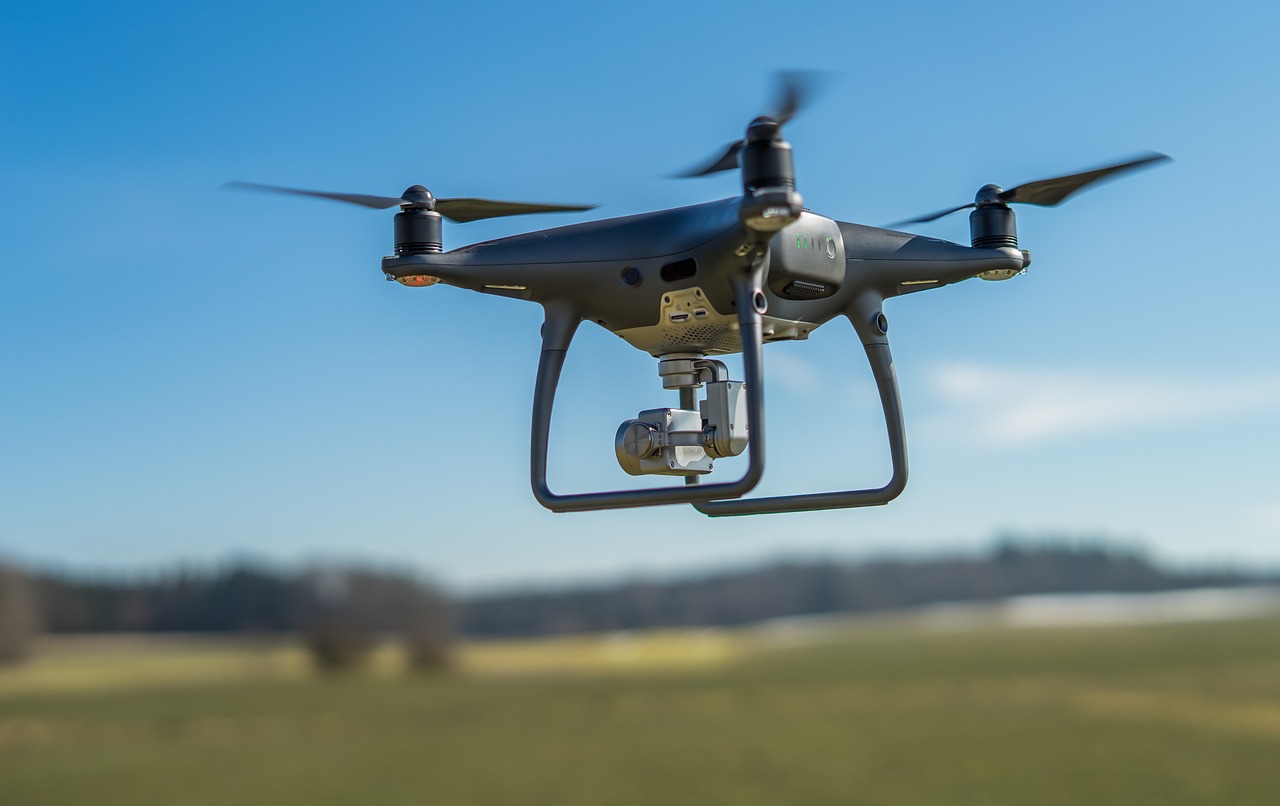
Arial & Land Survey

Arial Survey

Our team specializes in delivering top-tier aerial survey services. Utilizing advanced technologies and methodologies, we provide high-resolution aerial imagery for precise analysis and visualization. Our aerial survey solutions cater to diverse industries, offering invaluable insights for applications such as environmental monitoring, urban planning, infrastructure development, and more. Elevate your projects with our aerial survey expertise, ensuring unparalleled accuracy and detail in capturing the world from above..

Land Survey

We deliver exceptional land survey services, utilizing state-of-the-art technologies and methodologies. From precise field measurements to advanced mapping techniques, we offer comprehensive land survey solutions tailored to meet the unique needs of various industries. Our expertise spans environmental assessments, urban planning, infrastructure development, and more. Elevate your projects with our land survey capabilities, ensuring accurate and detailed data for informed decision-making.

Contact

ADDRESS

P.O Box 26135,Abu Dhabi. UAE

EMAIL

info@micromap.ae

PHONE

+971 2 446 3232

SOCIAL

Facebook,Twitter

SKYPE

micromap.ae

CALL

+971 2 446 0507

CONTACT US